



Phra Nakhon ↔ Thonburi
Chao Phraya Sky Park
All routes
Distance
1 km
Difficulty
Easy
Best time
5:00–7:00 AM or at sunset
Start
Phra Nakhon side (Pak Khlong Talat)
The route
* Approximate route — see the exact path in Google Maps below
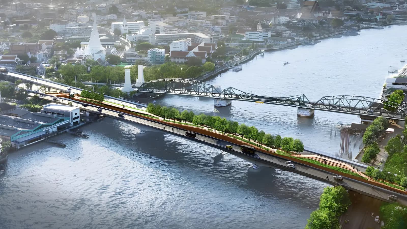
On the frame of a Lavalin skytrain bridge left abandoned for over thirty years, Bangkok built its first elevated park — about 280 metres of walkway arcing across the Chao Phraya, linking the Phra Nakhon and Thonburi banks.
Running above the river
It is too short to call a training route, but it is one of the most beautiful points on the Chao Phraya. Warm up here while the sky is still open, watch Wat Arun brighten mid-river, then carry on into the old town.
A bridge abandoned for thirty years — now the finest view on the Chao Phraya.
What you'll see
- Wat Arun and Wat Prayoon from mid-river
- Sunrise and sunset over the Chao Phraya
- Bangkok’s first elevated park
Before you go
- A short walkway — better for a warm-up or photos than a long run
- Open ~5 AM–8 PM, pedestrians only
- Extend into Rattanakosin old town on the Phra Nakhon side for distance